BVAL '97 - Working Pages
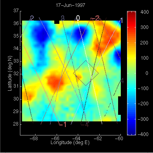
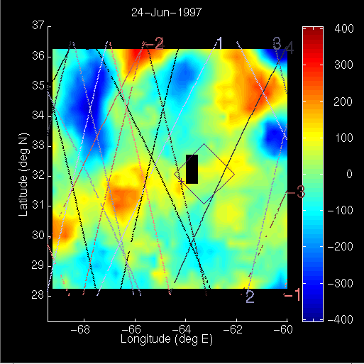
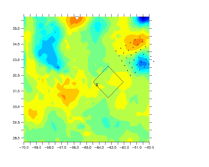
The three most recent altimetric fields are shown below. The location of
the BATS site is marked with a plus sign. The domain of last year's sampling
grid is indicated. Numerals at the endpoints of the ground tracks represent
the temporal offset of each pass from the central date of the objective
analysis. Many thanks to Fields for the fields.

Proposed sampling grid:
Last Updated 1210 EDT July 6, 1997
dmcgillicuddy@whoi.edu